
Apple Patents a Way to Keep 3D Map Highlights Visible While They Load
Every time Apple Maps redraws a 3D neighborhood, colored overlays marking parks, traffic zones, or points of interest have to reload too. Apple's new patent describes a way to keep those highlights visible and glitch-free even while the underlying map is still being built.
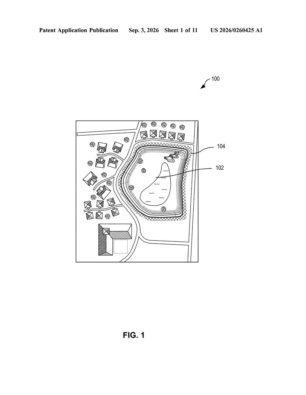
What Apple's 3D map color overlays actually do
Every time you drag around a 3D map, the app is rebuilding the scene beneath your finger: terrain, roads, buildings, and any colored regions on top. If the colored highlight and the terrain update at different speeds, you get a flicker or a blank spot where the color used to be.
Apple's patent describes a system that holds a placeholder version of those colored overlays in place while the real, updated version is being prepared. Think of it like a stage crew swapping a backdrop mid-show: the audience sees something on stage the whole time, even if it isn't the final version yet.
The technique also uses information about how the 3D map pieces connect to each other, so the system can drape a color band over new terrain more efficiently. The goal is a map that feels continuous and stable rather than patchy and reloading.
… identifying, by the computing system, a third three-dimensional mesh to present while the first overlay is being generated, the third three-dimensional mesh corresponding to the first three-dimensional mesh …
Translation: The system finds a placeholder mesh to show while the new map overlay loads.
How Apple swaps map meshes without dropping the highlight
The patent centers on what Apple calls 3D tint band meshes: colored, semi-transparent overlays draped over the 3D geometry (terrain, elevation, buildings) that makes up a modern digital map.
The core problem being solved is a loading gap. When a map tile updates, for example when you zoom in and higher-detail geometry loads, the colored overlay for that tile has to be regenerated to fit the new geometry. That regeneration takes a moment, and without a fix, the screen would show a hole or flicker.
Apple's method works in three steps:
- Receive the new 3D terrain mesh that will replace the old one.
- Generate a fresh color overlay to fit it, while simultaneously identifying an interim "stand-in" mesh.
- Display the stand-in with a temporary overlay until the real one is ready, then swap both in at once.
The patent also notes that the system uses connectivity information (essentially a map of how the triangles in the 3D geometry are linked to each other) to speed up the draping calculation. That's a standard geometry optimization: if you already know which triangles share edges, you don't have to recalculate those relationships from scratch every time you apply an overlay.
Areas of interest on three-dimensional maps can be made visually distinct using three-dimensional tint band meshes that overlay other three-dimensional meshes …
Translation: Special colored layers are draped over 3D map terrain to highlight specific locations.
What this means for Apple Maps on iPhone and Vision Pro
For everyday users, this is the difference between a map that feels solid and one that visibly "loads." Colored zones, such as traffic overlays, park boundaries, or highlighted routes, are increasingly common in mapping apps, and keeping them stable as you navigate 3D terrain matters a lot for how polished the experience feels.
Apple's run of Maps-related filings suggests the company is investing heavily in the visual quality of Apple Maps, particularly as it competes with Google Maps on 3D rendering. This patent is also relevant to spatial computing contexts: on a device like Vision Pro, a flickering map overlay would be far more jarring than on a flat phone screen, making smooth transitions a practical requirement rather than a cosmetic preference.
That makes this Apple's 369th filing in our Apple coverage since May, adding to work like the air quality floor plan and screen-aware voice commands.
The gap between this patent and a shipping feature is remarkably small. Everything described here is software: a smarter way to draw colored highlight regions over 3D maps so they update cleanly when the underlying terrain shifts. No new chip, no new sensor, no new device category required.
Apple Maps already shows 3D buildings and colored overlays for traffic and neighborhoods. This patent reads as an engineering fix to a visual glitch that exists right now, where those overlays can flicker or misalign as the map geometry updates. The solution is a placeholder-and-swap approach that keeps highlights locked to the correct surfaces during updates.
The pressure to get this exactly right increases on any device where maps appear large and close to the viewer, because small rendering hiccups become much more noticeable at that scale. A fix this close to ready, solving a problem this visible, has a short path to users.
Get our take in your Top Stories
Liked this breakdown? Add Patentlyze as a preferred source on Google, and our plain-English take shows up more often in your Top Stories the next time Apple patent news breaks.
There are more where this came from
We read every patent application Big Tech publishes and send you the ones worth knowing. Plain English, free, every week.
The drawings
11 drawing sheets from US 2026/0260425 A1 · click any drawing to enlarge


Show the other 3 sheets


Want this weekly breakdown for a company we don't cover? Patentlyze Pro →
Be the first to weigh in