
Apple Patents a Feature That Points You to the Nearest Cell Signal
You're in the middle of nowhere, your phone shows no signal, and you have no idea which direction to walk. Apple has filed a patent for a feature that would tell you exactly where the last known cell coverage was and how far away it is.
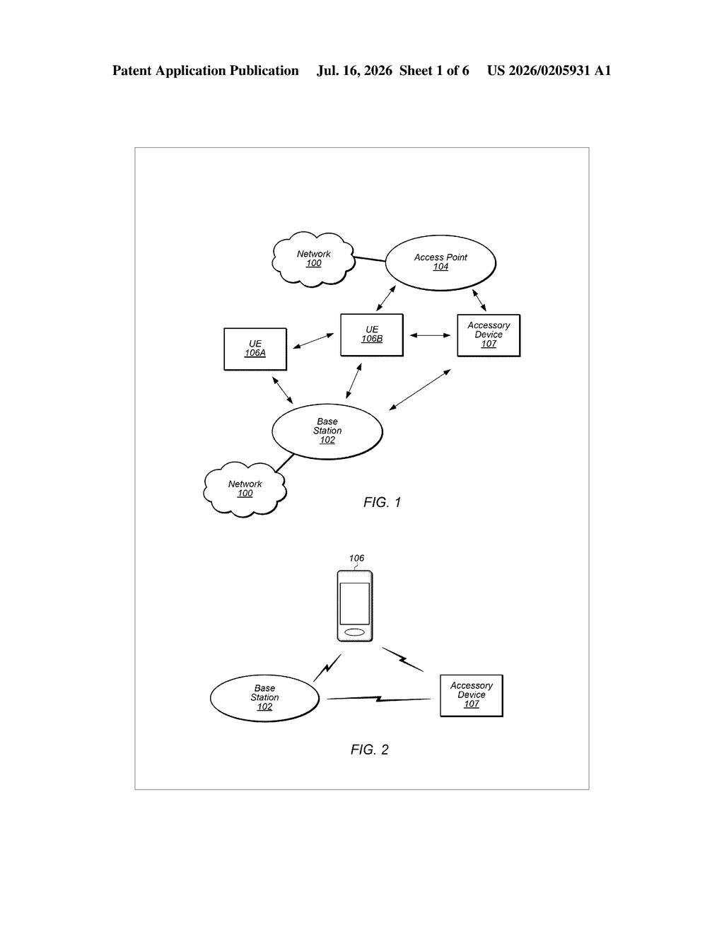
What Apple's closest cell signal finder actually does
Imagine you're on a road trip and your phone loses service in a remote stretch of highway. Right now, your iPhone just shows "No Service" and leaves you guessing. Apple's patent describes a system that would do something more useful: show you where the nearest cellular coverage is, along with a direction and distance so you know which way to head.
The key detail is that this isn't just pointing you back the way you came. The patent specifically says the closest signal location may be different from the most recent one you passed through. So if coverage is closer in front of you than behind you, your phone could tell you that.
The phone would display this information through on-screen elements, potentially showing GPS coordinates, a compass direction, or a plain distance like "0.4 miles northeast." Think of it as a signal-finding compass built right into your iPhone.
How your iPhone logs and surfaces signal location data
The patent describes a system where a wireless device continuously logs cellular connectivity events, which are basically records of where the phone had service and where it didn't, tagged with GPS coordinates (latitude and longitude).
When the phone finds itself without service, it processes that historical log to calculate which recorded signal location is geographically closest to where you are right now. Crucially, it compares that against the most recently visited signal location, and picks whichever is actually nearer, not just the one you passed through most recently.
The result gets surfaced through one or more user interface elements, which could mean:
- Raw GPS coordinates of the closest coverage spot
- A directional indicator (like a compass bearing)
- A plain-language distance from your current position
All of this runs on the device itself using data the phone has already collected, so it doesn't require an active internet connection to work, which makes sense given the whole point is that you don't have one.
What this means for hikers, travelers, and rural iPhone users
For most people in cities, this feature would rarely trigger. But for anyone who hikes, camps, drives through rural areas, or travels internationally in low-coverage regions, knowing where to walk to get a signal could be genuinely important in an emergency. Right now, iPhones offer Emergency SOS via satellite in some markets, but that requires a satellite connection. This feature would work as a complement, helping you locate traditional cellular coverage when satellite isn't needed or available.
From a product angle, Apple has been steadily building out off-grid and emergency connectivity features. A built-in signal-direction tool fits neatly into that broader push, and would be a natural addition to the iPhone's Maps or status bar experience.
This is a small but genuinely practical idea. The insight that the closest signal might not be the most recent one you passed is the kind of real-world detail that separates a useful feature from a cosmetic one. If Apple ships this, it will matter a lot to a specific group of users who need it most.
There are more where this came from
We read every patent application Big Tech publishes and send you the ones worth knowing. Plain English, free, every week.
Want this weekly breakdown for a company we don't cover? Patentlyze Pro →
Be the first to weigh in