
Google Patent Reveals AI That Builds Custom Travel Itineraries From Map Images
Google is patenting an AI trip planner that doesn't just search the web for travel ideas, it learns geography by studying maps directly, the same way a human might pore over an atlas before planning a road trip.
What Google's map-trained travel AI actually does
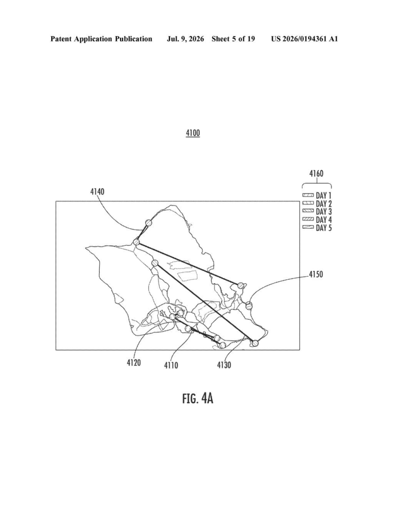
Imagine you type into Google: 'I have four days in Kyoto, I love temples and street food, skip the tourist traps.' Right now, you'd get a mix of search results, maybe a suggested itinerary from a travel blog. This patent describes something different: an AI that has been trained specifically on map images, so it understands how places relate to each other geographically before it builds your schedule.
The idea is that a good trip planner doesn't just know that a museum exists, it knows the museum is a 20-minute walk from your hotel and right next to a neighborhood worth wandering. By feeding the AI map images during training, Google is trying to bake that spatial awareness in from the start.
You ask a question, the AI reads the geography, and out comes a full itinerary. No clicking through ten different tabs.
How the model learns geography from map images
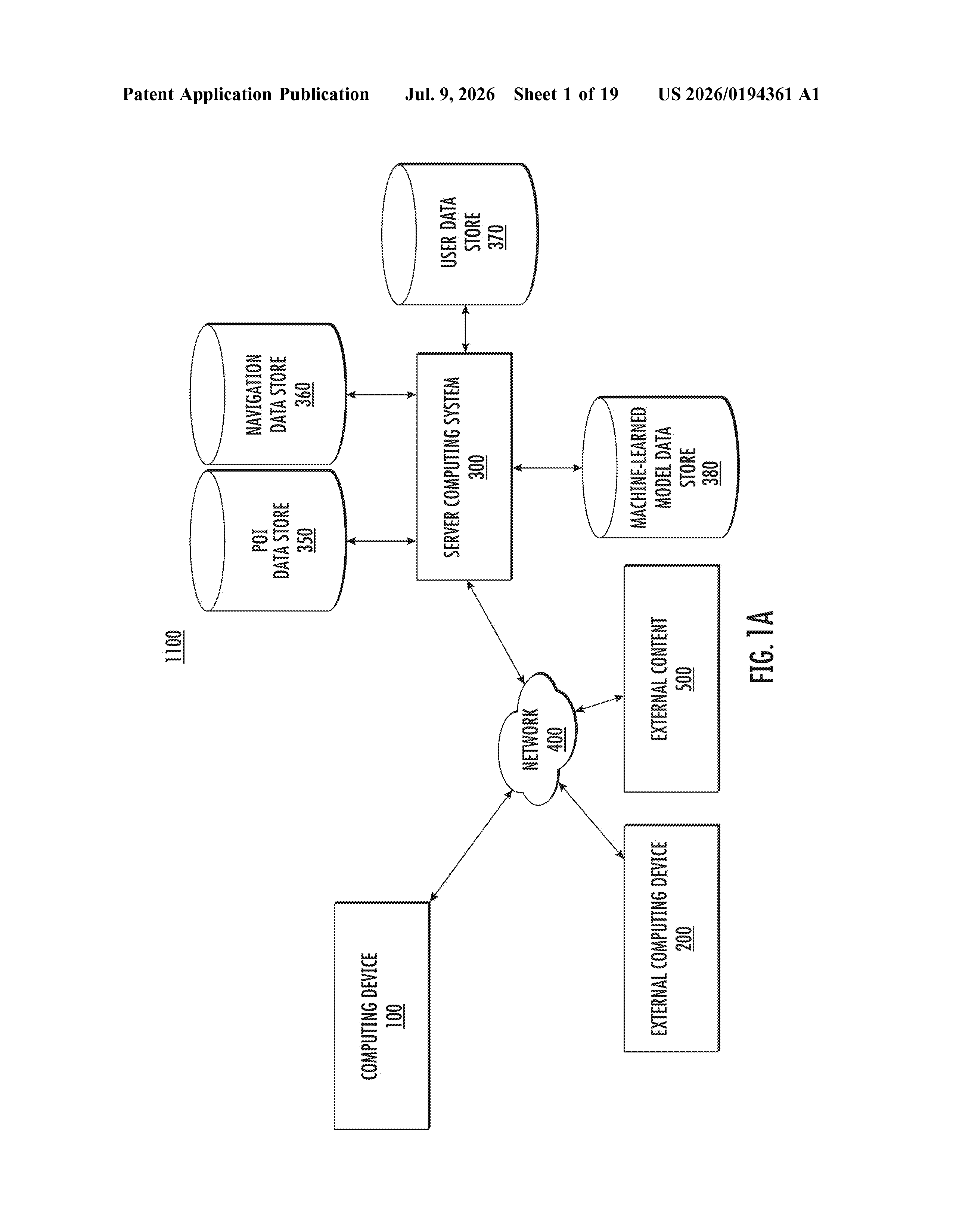
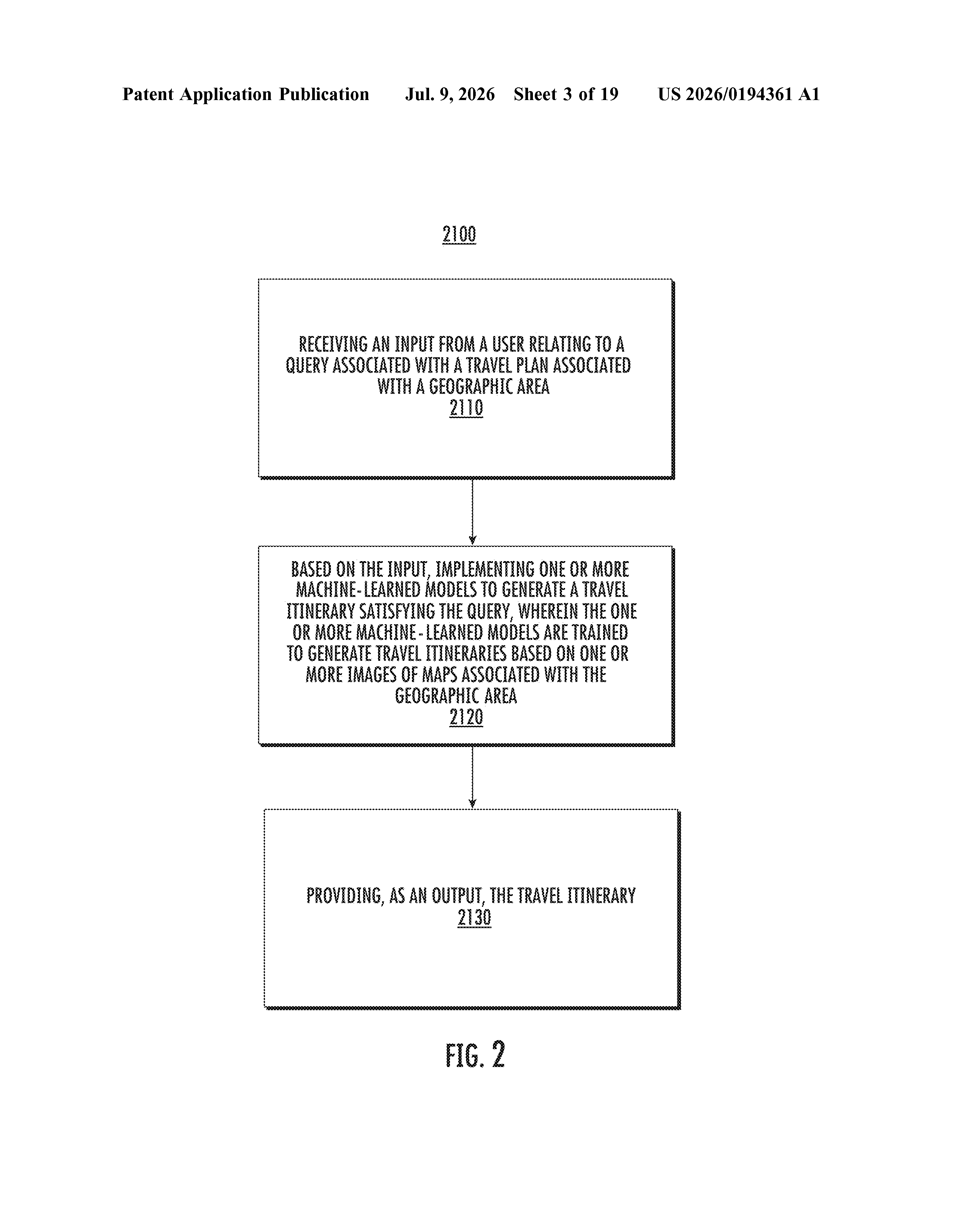
The patent describes a system where one or more machine-learned models are trained on a large collection of map images covering many geographic areas. The core insight: instead of relying solely on text descriptions of places, the model learns from the visual and spatial information encoded in maps.
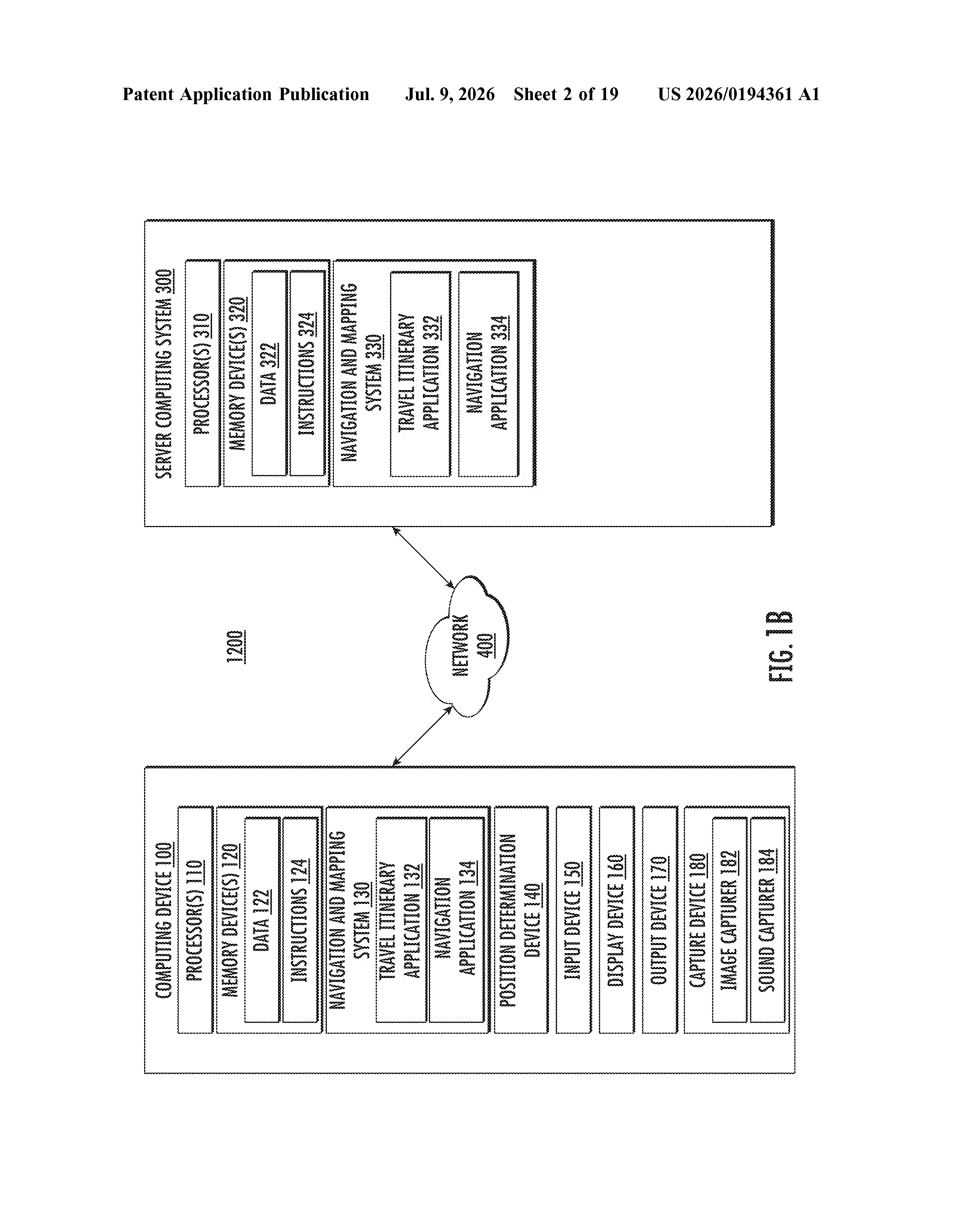
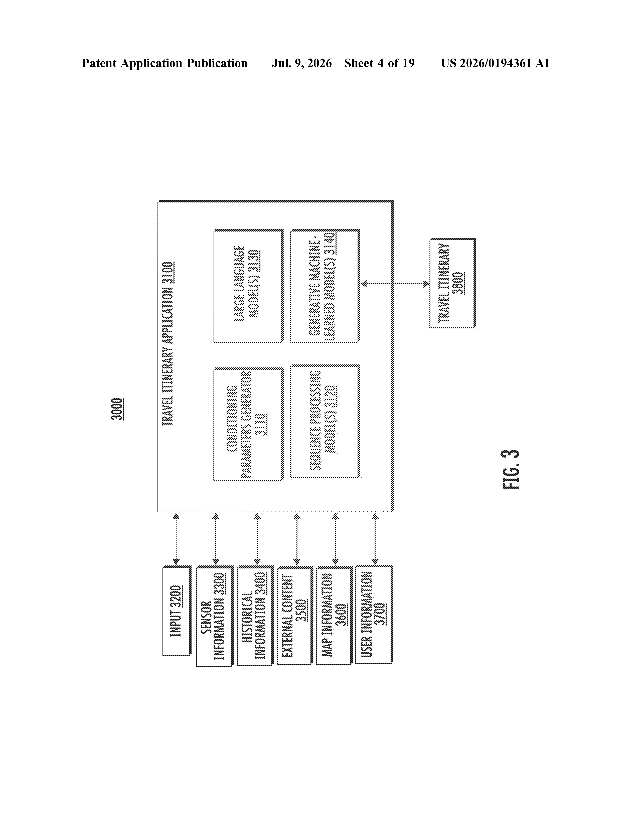
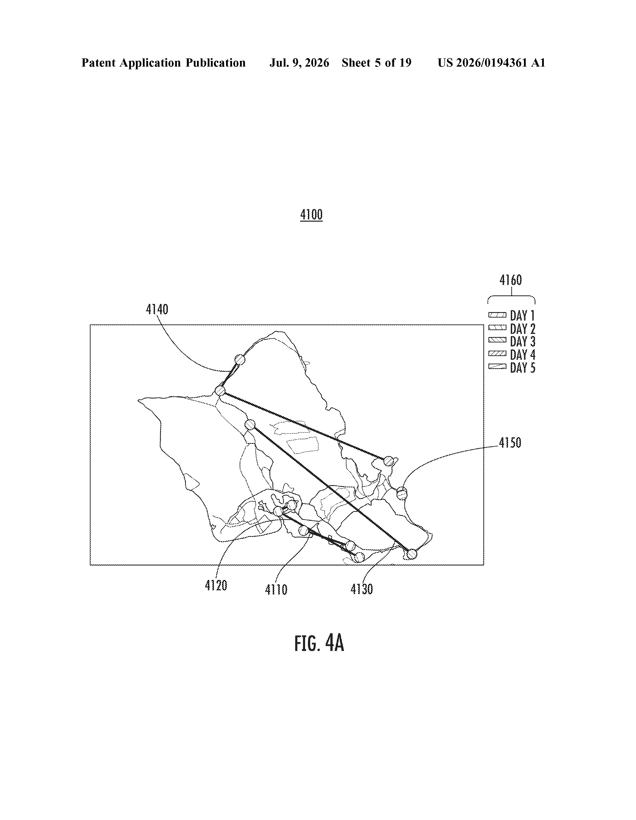
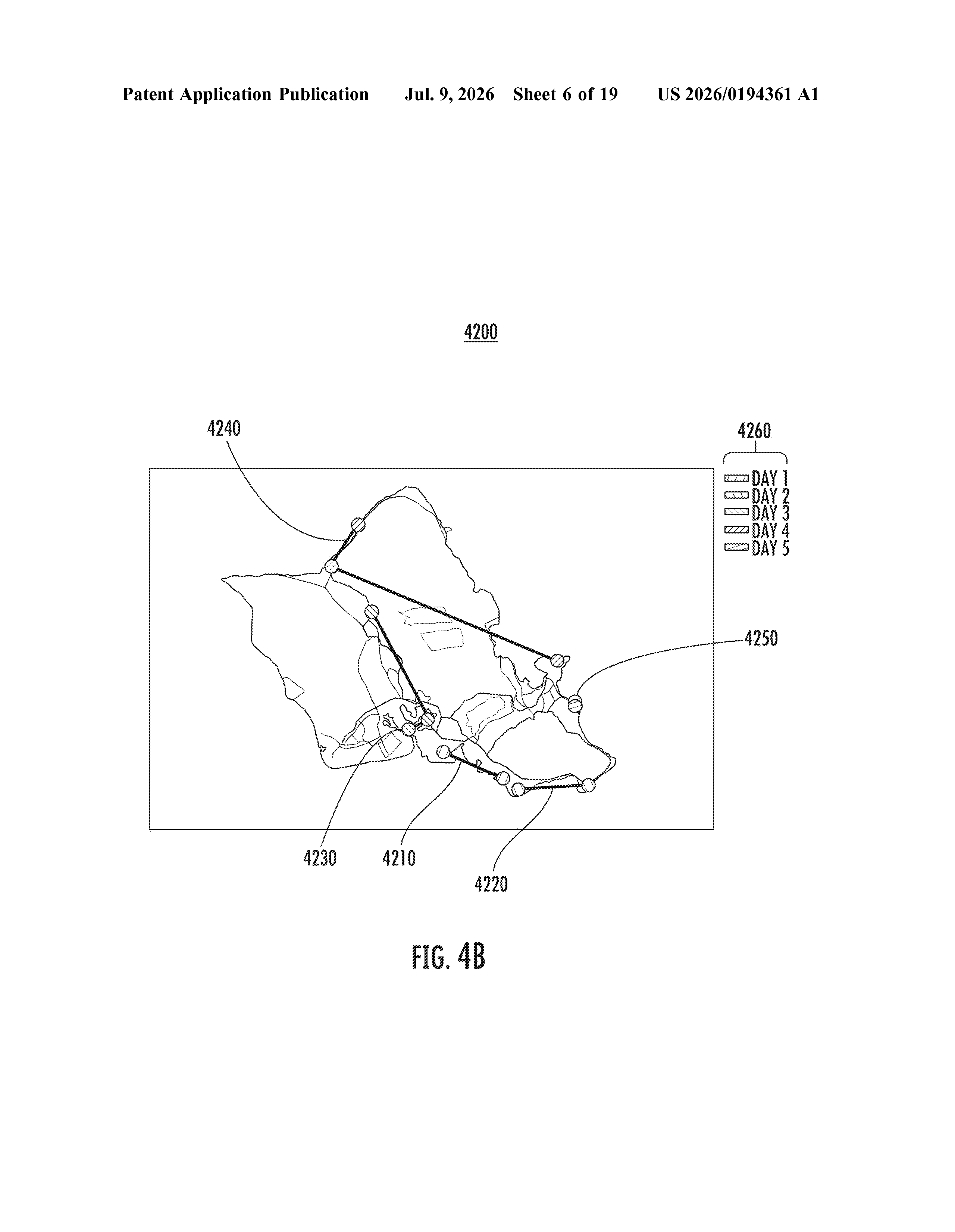
When a user submits a query (for example, 'a five-day trip around coastal Portugal focused on seafood and hiking'), the system passes that input to the trained model, which generates a travel itinerary satisfying the request. The itinerary is the direct output.
The training approach is the distinctive part. Most AI travel tools are fine-tuned on review text, blog posts, or structured databases. This patent specifically calls out map images as the training data source, which could let the model internalize things like:
- How far apart attractions are in a city
- Which areas cluster together naturally on a route
- Geographic features like coastlines, hills, or transit corridors that affect realistic day-planning
The claim is broad: any computing system that takes a travel query and uses a map-image-trained model to spit out an itinerary falls under this description.
What this means for Google Maps and Search
Google already owns Google Maps, one of the richest geographic datasets on earth. A model trained on map images would be a natural fit for what Google already has, and it could give Google's AI travel features a spatial accuracy that text-trained chatbots lack. If you've ever gotten an AI itinerary that put two things on opposite sides of a city on the same morning, you understand why geography-aware training would be an improvement.
For you as a traveler, the practical payoff is itineraries that make logistical sense, not just thematically interesting lists of stops. This patent also signals that Google sees AI-generated trip planning as a core search feature worth protecting, not just a demo.
The claim here is broad to the point of being almost abstract, which is typical of early-stage AI patents but makes it hard to assess real novelty. The specific angle, training on map images rather than text, is interesting and plausible given Google's data advantages, but the patent doesn't reveal much about how well it actually works. Worth watching as a signal of where Google Search is heading, less so as a technical breakthrough.
Get our take in your Top Stories
Liked this breakdown? Add Patentlyze as a preferred source on Google, and our plain-English take shows up more often in your Top Stories the next time Google patent news breaks.
There are more where this came from
We read every patent application Big Tech publishes and send you the ones worth knowing. Plain English, free, every week.
The drawings
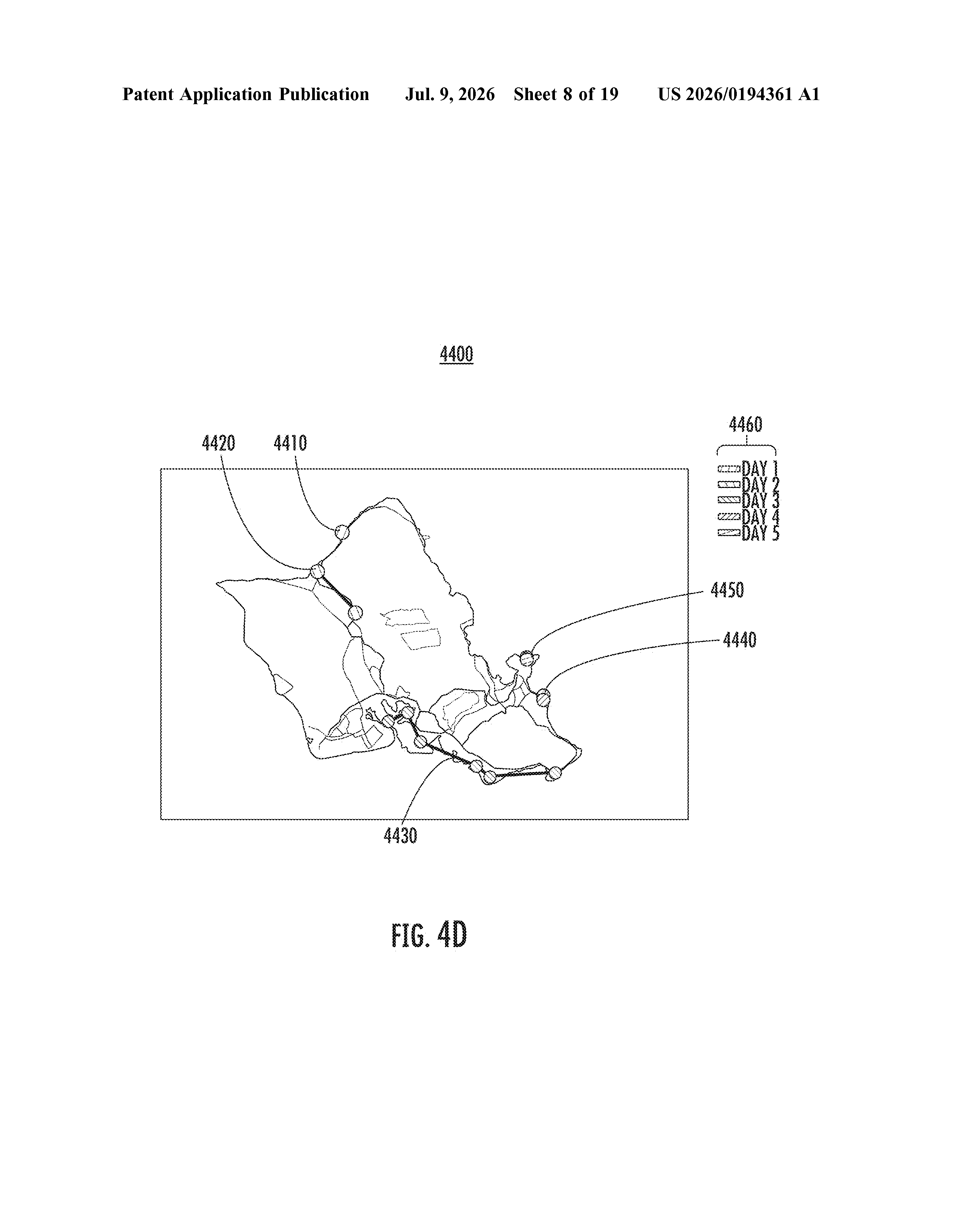
19 drawing sheets from US 2026/0194361 A1 · click any drawing to enlarge
Want this weekly breakdown for a company we don't cover? Patentlyze Pro →