Apple Patents a System That Guides You Back to Cell Coverage When You Go Off-Grid
Lose cell signal on a hike and your iPhone currently just... gives up. Apple is patenting a system that instead tracks where you lost coverage, figures out the nearest spot where you can get it back, and draws you a path to get there.
What Apple's dead-zone navigation actually does for you
Imagine you're driving through a mountain pass or hiking a trail and your phone drops to zero bars. Right now, most phones just show you a "No Service" indicator and leave you to figure it out. Apple's new patent describes a much more helpful approach.
Instead of silence, your iPhone would pop up a notification telling you how long ago you lost signal and how far away the nearest cell coverage is. Tap that notification and you get a full map view: where you are now, where coverage begins, and a suggested route to get there — including a breadcrumb trail of where you've already walked.
The system relies on two things: your phone's built-in GPS (which works even without cell service) and crowdsourced data about which locations have — and don't have — cellular coverage. It can also trigger automatically when a timer runs out, when you unlock your screen, or when an app fails to connect.
How the off-grid timer and crowdsourced map work together
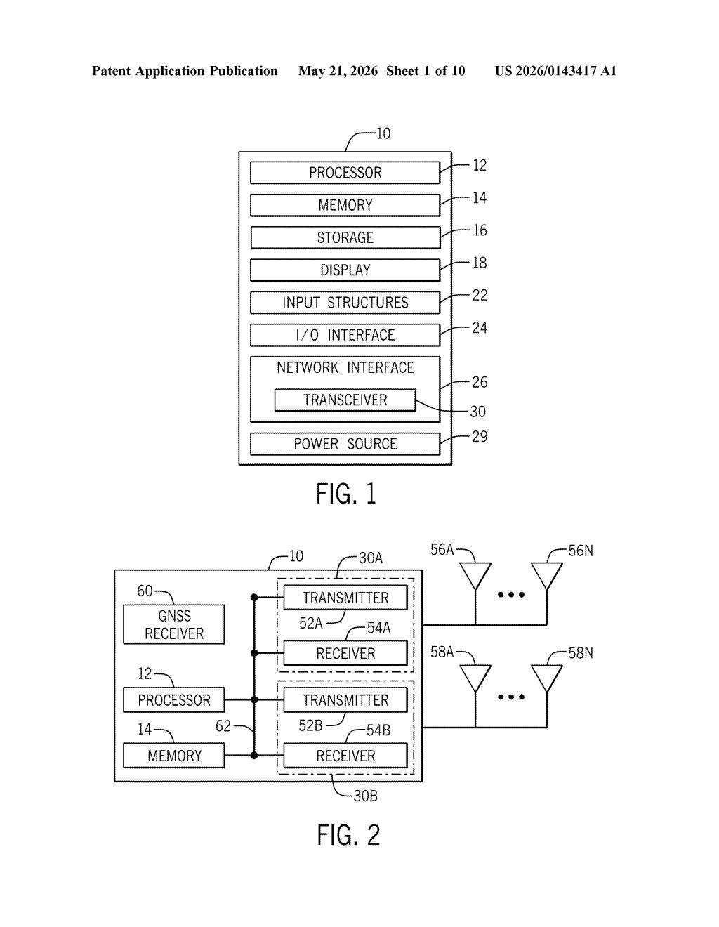
The patent describes an electronic device — clearly an iPhone or Apple Watch — that switches to GPS-only mode the moment it loses connection to both a primary and a secondary radio access technology (RAT — think LTE and 5G NR, or LTE and Wi-Fi Calling). From that point, an "off-grid timer" starts counting.
Notification triggers include:
- The off-grid timer expiring (you've been out of coverage for X minutes)
- A screen-unlock event (you picked up your phone and there's still no signal)
- An app failing to establish a network connection
When triggered, the device generates a notification showing the distance to the nearest known coverage location. If you tap it, a map interface opens showing your current GPS position, the nearest coverage zone, a proposed walking or driving route, and a recorded breadcrumb trail of the path you've already taken — useful for backtracking.
The coverage location data is crowdsourced: the device downloads a local dataset of places with and without connectivity in its vicinity, presumably kept current by other iPhones reporting signal status over time. When you return to coverage, the timer resets and location recording stops.
What this means for hikers, travelers, and rural iPhone users
For the roughly 40 million Americans in areas with spotty rural coverage — plus the growing number of people hiking, skiing, or road-tripping through dead zones — this is a genuinely practical safety feature. Getting a notification that says "you lost signal 12 minutes ago, coverage is 0.4 miles northeast" is meaningfully different from staring at a "No Service" label and guessing.
It also signals that Apple is thinking about graceful degradation — making the iPhone useful even when its primary function (being connected) has temporarily failed. The crowdsourced coverage map angle is interesting too: it suggests Apple could be building a first-party signal-quality dataset to rival what carriers and third-party apps like Opensignal currently maintain.
This is a straightforward quality-of-life patent, not a platform play — but it's the kind of thing that actually makes a difference to real people in real situations. The crowdsourced coverage map is the most strategically interesting piece: if Apple bakes this into iOS at scale, it quietly becomes one of the most accurate real-world cell coverage datasets on the planet.
Get one Big Tech patent every Sunday
Plain English, intelligent commentary, no hype. Free.
Editorial commentary on a publicly published patent application. Not legal advice.