Sony Patents a Tool That Shows Where AR Location Tracking Will Fail Before It Does
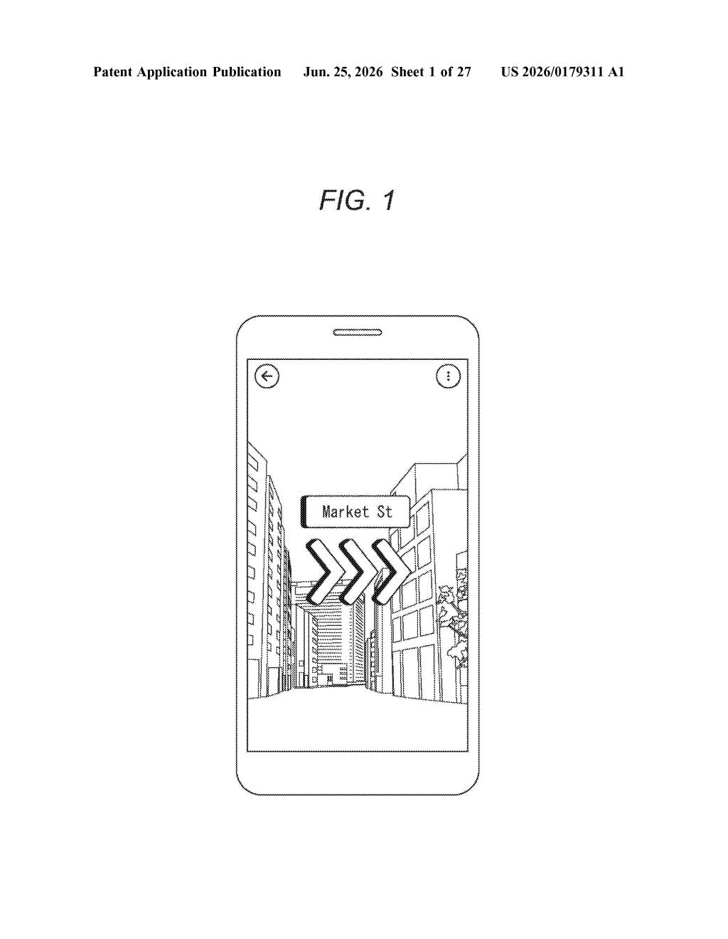
AR apps that pin digital content to real-world locations need to know exactly where they are in space, and that positioning often fails silently. Sony's new patent is a tool for seeing those failure zones before they cause problems.
What Sony's AR location-confidence map actually does
Imagine you're building an AR app that overlays directions onto the real world, and sometimes it just loses track of where it is. Maybe it works fine near a big building but falls apart in an open plaza. Right now, figuring out where that happens involves a lot of trial and error.
Sony is patenting a visualization tool designed to fix that. It takes a 3D map built from real-world photos and color-codes or highlights the spots where the location system is likely to work well versus where it's likely to get confused. You'd see a kind of confidence map layered on top of the environment.
The underlying technology is called Visual Positioning Service (VPS), which is how AR apps figure out exactly where you're standing by matching your camera view to a stored 3D model. Sony's tool is aimed at the developers and mapmakers who build and maintain those 3D models, giving them a clearer picture of problem areas without having to physically walk every location.
How the system overlays direction data onto a 3D map
The patent describes a system with three main pieces working together.
- Imaging target direction calculation: For each recognizable landmark in a 3D map (think a doorway, a sign, or a distinctive wall corner), the system figures out the range of camera angles from which that landmark was originally photographed. This tells the system which directions a user would need to be facing for the landmark to be reliably recognizable.
- Viewpoint acquisition: The system tracks where a virtual observer is currently looking within the 3D map, essentially simulating a camera position inside the digital model.
- Drawing unit: It renders the 3D map normally, then overlays a second image on top that reflects how well the current viewpoint aligns with the directions the landmarks were captured from. If your simulated camera is looking at a landmark from an angle it was never photographed from, the overlay flags that as a weak spot.
The core idea is that VPS localization (matching a live camera frame to a 3D map to determine position) only works reliably when the camera's current angle matches the angles used when the map was originally built. Sony's tool makes that match-or-mismatch visible in an interactive 3D viewer, rather than leaving it as hidden data buried in the map file.
What this means for AR navigation and location apps
For anyone building AR navigation, indoor wayfinding, or location-based experiences, bad positioning is one of the hardest problems to diagnose. A map might look complete and accurate but still produce positioning failures in specific corridors or when users approach from an unexpected direction. Sony's tool turns that invisible problem into something you can literally see and fix at the map-building stage.
Sony has been investing in VPS infrastructure through its broader XR and spatial computing work. A visualization tool like this is the kind of developer-facing utility that makes a platform more attractive to third-party app builders. If AR location services become a competitive battleground alongside Google's and Apple's own positioning systems, tools that make map quality easier to audit could matter quite a bit.
This is a practical, unglamorous engineering tool, and that's exactly what makes it useful. Debugging AR positioning failures is genuinely painful work, and a visual confidence overlay directly addresses a real workflow problem. It's not a consumer feature you'll ever see in a product announcement, but it's the kind of infrastructure patent that reflects serious investment in making VPS-based AR actually reliable at scale.
Get one Big Tech patent every Sunday
Plain English, intelligent commentary, no hype. Free.
Editorial commentary on a publicly published patent application. Not legal advice.