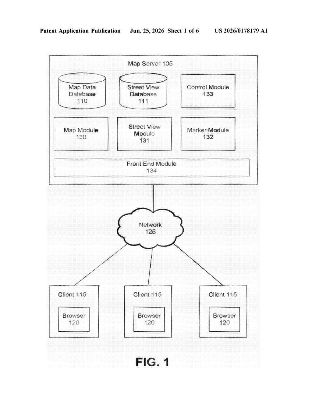
Google Patent Shows Street View Syncing Live With Draggable Map Controls
Google is patenting a way to keep a street-level view and an overhead map in perfect sync as you drag a marker around, so you never lose your bearings between the two.
What Google's linked map-and-street-view control does
Imagine looking at Google Maps with two panels open side by side: a bird's-eye map on one side and a street-level photo on the other. Right now, switching between those two views can feel a bit disconnected. Google's patent describes a way to make them feel like one fluid experience.
The idea is a draggable control sitting on top of the map. As you move it around or rotate it, the street view on the other side updates instantly to match, showing you exactly what you'd see standing at that spot and looking in that direction. The street view's angle of vision (how wide or narrow it is) would even be reflected visually in the control itself.
The patent also covers moving a pinned marker on the map and having the street view automatically follow along, keeping both panels in agreement at all times.
How the interactive control ties the two views together
The patent describes a split user interface with at least two regions displayed simultaneously. One region holds an overhead map with an interactive control overlaid on it. The other region shows a Street View perspective whose camera position and pointing direction match the control's position and orientation on the map.
When a user drags or rotates the control, the Street View updates in real time to track that change. The patent also specifies that the field of view (how wide an angle the Street View camera captures) is reflected back in the visual appearance of the control on the map, so there's a two-way visual feedback loop between the panels.
Additionally, the system can follow a movable map marker: as a user drags a pin to a new location on the overhead map, the Street View automatically repositions to show imagery from that new spot.
- Overhead map with a draggable, rotatable control
- Street View that tracks the control's position and direction
- Visual representation of Street View's field of view shown on the control
- Street View that follows a moved map marker
What this could mean for Google Maps navigation
For anyone who uses Google Maps to scout a route or explore an unfamiliar neighborhood, constantly jumping back and forth between the map and Street View is one of the more frustrating parts of the experience. A tightly coupled two-panel interface would make spatial orientation much easier, especially on larger screens like tablets or desktop browsers where there's room to show both views at once.
From a strategic angle, this kind of improvement fits Google's long-running effort to make Google Maps the go-to tool for pre-trip exploration, not just turn-by-turn navigation. Tighter integration between map and street-level imagery could also make the interface more useful for real estate browsing, local business research, and accessibility planning.
This is a sensible, user-focused improvement rather than a flashy technology leap. The two-panel map-plus-street-view concept has been around for years, but Google is formalizing a more interactive, real-time version of it. The fact that all 20 original claims were canceled during prosecution is worth noting, since it means the patent's final scope may end up narrower than the application suggests.
Get one Big Tech patent every Sunday
Plain English, intelligent commentary, no hype. Free.
Editorial commentary on a publicly published patent application. Not legal advice.