
Nvidia Patents a Hybrid Diffusion Model That Predicts Radar Maps from Satellite Images
Radar networks have blind spots — oceans, remote mountains, developing countries. Nvidia's new patent describes an AI system that can synthesize radar-quality storm maps using only satellite imagery, no ground-based radar required.
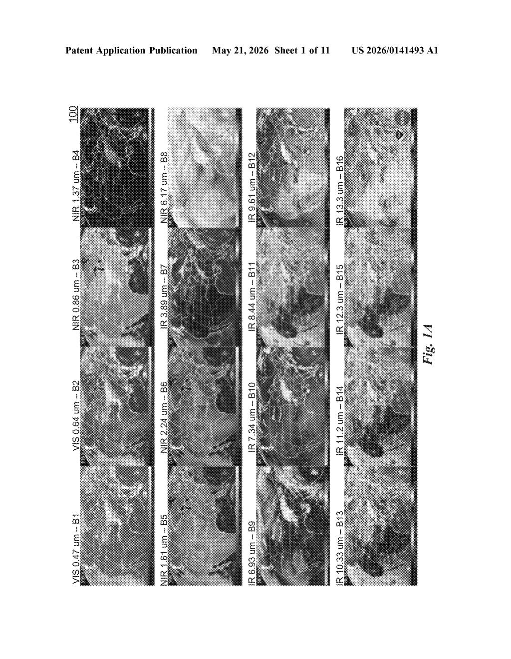
How Nvidia turns satellite imagery into radar-style storm maps
Imagine you're a meteorologist tracking a developing storm over the open Pacific. There's no radar tower out there — the nearest one might be hundreds of miles away on land. All you have are images from a geostationary weather satellite like GOES, which orbits high above the Earth and watches entire hemispheres at once. That's a lot of data, but it's not the same as radar, which directly measures how much rain or ice is in a storm cloud.
Nvidia's patent describes an AI model designed to bridge that gap. Feed it satellite imagery, and it predicts what a radar reflectivity map — the kind of image you see on your weather app — would look like for the same region. It does this in two steps: a fast regression model makes an initial prediction, and then a slower, more detail-oriented diffusion model refines that prediction into something sharper and more physically realistic.
The result is a system that could, in principle, generate radar-like storm detail anywhere on Earth that a satellite can see — which is basically everywhere.
How the regression-diffusion pipeline refines reflectivity fields
The patent describes a two-stage neural network pipeline for converting geostationary satellite radiance data (the raw brightness readings from a GOES-class satellite) into radar reflectivity fields — the spatial maps showing how strongly precipitation is reflecting radio waves back at a radar dish.
Stage 1 — Regression model: A conventional deep learning regression model takes the satellite inputs and outputs a first-pass image of predicted radar reflectivity. Regression models are fast and globally coherent, but they tend to produce blurry outputs — they average over uncertainty rather than committing to sharp features like individual storm cells.
Stage 2 — Diffusion model: The first-pass image is handed off to a diffusion model (the same family of generative AI behind image synthesis tools like Stable Diffusion). The diffusion model iteratively refines the blurry prediction by adding and then selectively removing structured noise — a process that recovers fine-grained spatial detail that the regression step lost. Think of it as using the regression output as a rough sketch, then having the diffusion model ink in the details.
The combination is deliberate: regression provides a physically grounded starting point so the diffusion model doesn't hallucinate unrealistic storm structures, while diffusion provides the high-frequency spatial fidelity that regression alone can't achieve. The patent ties this specifically to GOES satellite radiance channels as the input observation type, which situates this squarely in operational meteorology infrastructure.
What this means for AI-driven weather forecasting at scale
Ground-based radar is expensive, politically complex to deploy, and simply absent over large parts of the Earth's surface. If an AI model can reliably synthesize radar-quality reflectivity maps from satellite data alone, it dramatically expands the geographic coverage of high-resolution precipitation sensing — with direct applications in flood forecasting, aviation routing, and disaster response in data-sparse regions.
This patent also signals that Nvidia is deepening its investment in AI-driven Earth system modeling, a space where it's been active through projects like FourCastNet and its Earth-2 climate simulation platform. Pairing their diffusion model expertise (honed in graphics and generative AI) with meteorological prediction is a natural extension — and one that could eventually feed into real-time numerical weather prediction pipelines running on Nvidia hardware.
This is genuinely interesting work sitting at the intersection of generative AI and operational meteorology. The hybrid regression-then-diffusion architecture is a principled solution to a real problem — regression is stable but blurry, diffusion is detailed but unconstrained — and applying it to satellite-to-radar translation is a concrete, high-value use case. The inventor list includes serious atmospheric scientists (Dale Durran is a prominent UW meteorologist), which suggests this isn't just a hardware-adjacent filing but reflects real research depth.
Get our take in your Top Stories
Liked this breakdown? Add Patentlyze as a preferred source on Google, and our plain-English take shows up more often in your Top Stories the next time Nvidia patent news breaks.
There are more where this came from
We read every patent application Big Tech publishes and send you the ones worth knowing. Plain English, free, every week.
Want this weekly breakdown for a company we don't cover? Patentlyze Pro →