
Mobileye Files Patent for a Map That Grades the Quality of Lane Paint
Every car with a camera sees the painted lines on the road, and Mobileye wants those cars to grade them. The result would be a map showing how good each stretch of lane paint looks, built from many drivers' trips.
What Mobileye's lane-paint quality map does
Cars that steer themselves lean on the same painted lane lines you do, and their cameras are looking at those lines on every trip. The catch is that sending everything a car sees back to a company would bury it in data.
So Mobileye's filing has each car pick small spots along a painted line, give each spot a condition score, and send back only the location and the score. Think of it as a tiny report card for each patch of paint, not a photo.
On the company's end, a server collects those reports from many cars that drove the same road. It lines up the locations, combines the scores, and builds a map. You could pull up that map and hover over a line to see how its paint rates.
receive drive information transmitted by a plurality of vehicles that traveled a road segment, wherein the drive information includes sample information for detected lane marks along the road segment, the sample information for each of the detected lane marks including a location identifier and a surface quality indicator …
Translation: The system collects location and paint quality data sent by many cars driving down the same road.
How cars report paint quality, spot by spot
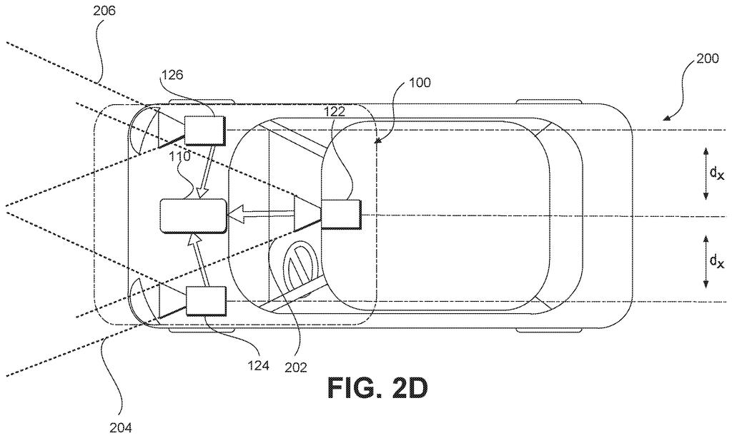
The filing describes a two-part system. A feature harvester (software inside the car) takes camera images as the car drives, finds a painted lane line in a picture, and picks out one or more sample areas, small patches along that line. For each patch it works out a location identifier and a surface quality indicator, then sends both to a remote server.
The claims shown here cover the server side, a map generator. It does four things:
- Receives reports from many vehicles that drove the same road segment
- Combines (aggregates) the locations reported for each detected lane mark
- Combines the quality scores for each lane mark
- Matches each combined location to its combined score and builds a map from the result
The dependent claims fill in details. A location can be an X-Y-Z position measured from a fixed real-world origin, and the lane marks can be dashed. A quality indicator can be a paint quality score, a confidence score for the detection, a uniformity level, a color, or a brightness level. The map can be shown on a screen with a marker for each lane line, and a score can appear hovering over that marker when you select it.
… select at least one sample area of the representation of the lane mark, wherein the at least one sample area is associated with an image location of at least a portion of the representation of lane mark; determine a location identifier of the at least one sample area; determine a surface quality indicator associated with the at least one sample area …
Translation: The vehicle camera zooms in on painted lane lines to figure out where they are and how faded they look.
Why the state of lane paint matters on the road
Self-driving and driver-assist systems read lane lines to stay in place, and the filing's background says that mapped lane marks help a car locate itself. A map that records how good each line looks would show where those lines are hardest to read, stretch by stretch, based on what real cars saw rather than a one-off survey.
The design also keeps the data load low, which the filing treats as a core worry for autonomous navigation. Sending a location and a score from each car is far lighter than uploading images. Nothing in the claims says who would use the map. The display claims suggest a person browsing it, but the filing as given does not name a product or a customer.
Intel files its sixth patent we've tracked in our self-driving sensing watchlist since September, building on Mobileye filings covering cameras that read darkness and camera-only parking picks.
Anyone who has driven a rain-slick road at night knows how fast faded lane paint turns a clear lane into a guess. Cars that steer themselves have the same trouble, and they depend on those lines far more than a person who can fall back on instinct.
The size of the response fits the size of the problem. Instead of hauling photos back to a server, each car sends a location and a score, which keeps the data small enough for many cars to contribute. A road with plenty of traffic would get graded over and over.
What the claims leave open is who acts on the grades. They end at building and displaying the map, so whether it helps a carmaker's software or a road crew with a paint truck is undecided. I read it as a sensible, modest idea that becomes valuable once someone actually reads the map and does something with it.
Get our take in your Top Stories
Liked this breakdown? Add Patentlyze as a preferred source on Google, and our plain-English take shows up more often in your Top Stories the next time Intel patent news breaks.
There are more where this came from
We read every patent application Big Tech publishes and send you the ones worth knowing. Plain English, free, every week.
The drawings
54 drawing sheets from US 2026/0309512 A1 · click any drawing to enlarge


Show the other 46 sheets


Want this weekly breakdown for a company we don't cover? Patentlyze Pro →
Be the first to weigh in